UNDERSTANDING
THE RISK
"Urgent action is needed to protect life and property in Montecito."
–Dr. Matthias Jakob, Principal Geoscientist, BGC Engineering and author of Debris Flow Hazards and Related Phenomena

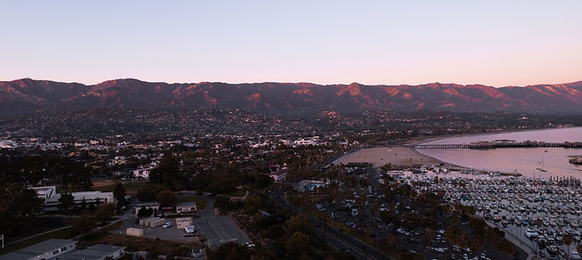
Flood History of Montecito, Santa Barbara County
TPRC partnered with Dr. Larry Gurrola and Dr. J. David Rodgers to uncover and summarize the history of flood and debris flow activity in Montecito and Santa Barbara County. Through historical record analysis and LIDAR mapping technology of current geological conditions, they concluded that Santa Barbara County has an extensive debris flow and flood laden history and continues to pose a constant hazard without mitigation.

UCSB LIDAR Research
LIDAR (Light Detection and Ranging) is a remote sensing method that uses light in the form of a pulsed laser to measure ranges (variable distances) to the Earth. Thomas Dunne, Professor of Hydrology & Geomorphology at UCSB’s Bren School of Environmental Science & Management, used comparative LIDAR images from 2015 and 2018 to inform decision makers about the debris flow and mitigation efforts. Data was used to map and measure the volume of landslide and gully debris sources in the canyons; calculate the potential speed, discharge and force from flow depths and mudline elevations; and measure the volume of boulders scoured from the canyons. This information is critical to designing adequate mitigation measures.

Debris Flow Site Reconnaissance
BGC Engineering is the gold standard for geologic risk assessment. BGC completed a reconnaissance-level site visit to Montecito and adjacent watersheds in July 2018 to determine how much material could still come down and how much could be mitigared. Dr. Matthias Jakob of BGC wrote the worldwide bible of debris flow, Debris Flow Hazards and Related Phenomena. And Dr. Joseph Gartner of BGC, whom we are also working with, spent 12 years at the U.S. Geological Survey where he developed models for post fire debris flow probability and volume, and rainfall intensity-duration thresholds for post fire debris flow initiation.